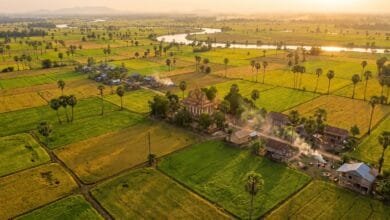
Geography & Regions
Explore Cambodia’s geography, landscapes, rivers, lakes, mountains, plains, coastline, regions, and natural features that shape life across the country.
-

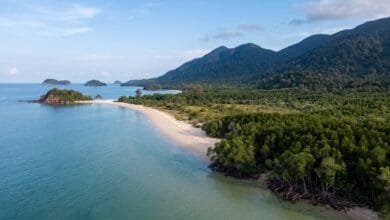
Cambodia’s Coastline: Geography of the Gulf of Thailand
Cambodia's coastline stretches about 435 km along the Gulf of Thailand. Learn how mountains, monsoons, and the sea shape this…
Read More » -
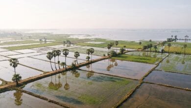
Why Cambodia’s Landscape Is Dominated by Rice Fields
Cambodia's endless rice fields are the product of flat land, monsoon rain, the Mekong River, and the Tonle Sap's flood…
Read More » -
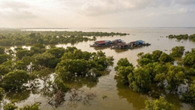
Cambodia’s Landscape in Wet Season vs Dry Season: What Changes and Why It Matters
Cambodia's landscape transforms dramatically between wet and dry seasons. The Tonle Sap grows five times larger, rivers reverse direction, and…
Read More » -
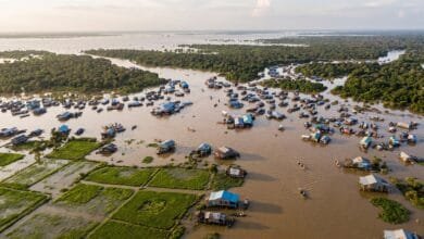
Why Does Tonlé Sap Change Size So Dramatically?
Tonlé Sap Lake in Cambodia expands to six times its dry-season size every year. Here is the geographic reason —…
Read More » -
The Cambodia You See Depends on Where You Go: A Geography Overview
Cambodia's geography is a story of water, flat plains, and surrounding mountains. This overview explains the country's regions, rivers, and…
Read More »