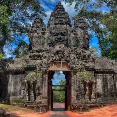
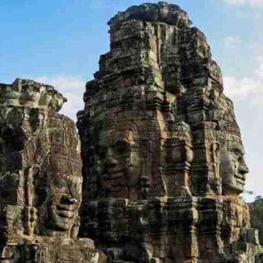
Cambodia Geography: is a country in mainland Southeast Asia, bordering the Gulf of Thailand, between Thailand, Vietnam, and Laos. Cambodia has a land area of 181,035 square kilometers. It situates completely within the tropics with its southern most points slightly more than 10° above the Equator. The country capital city is Phnom Penh. The country has a coastline of 435 km and extensive mangrove stands, some of which are relatively undisturbed.
General topography
The dominant features of the Cambodian landscape are the large, almost generally located, Tonle Sap (Great Lake) and the Bassac River Systems and the Mekong River, which crosses the country from North to South. The central lowlands extend into Vietnam to the south-east. The south and south-west of the country constitute a 443 km long coast at the Gulf of Thailand, characterized by sizable mangrove marshes, peninsulas, sandy beaches and headlands and bays.
Central plain
Two third of the country’s population live in the lowlands, where the rich sediment deposited during the Mekong’s annual flooding makes the agricultural lands highly fertile. The majority of the country lies within the Tropical savanna climate zone, as the coastal areas in the South and West receive noticeably more and steady rain before and during the wet season. Countrywide there are two seasons of relatively equal length, defined by varying precipitation as temperatures and humidity are generally high and steady throughout the entire year.
The Cardamom Mountains
The Cardamom Mountains in the southwest rise to more than 1,500 meters and is oriented generally in a northwest-southeast direction. The highest mountain in Cambodia –Phnom Aural, at 1.771meters – is in the eastern part of this range.

The Elephant Mountains
The Elephant Range, an extension of Cardamom Mountains, runs towards the south and the southeast and rises to elevations of between 500 and 1,000 meters. These two range are bordered on the west are narrow coastal plain facing the gulf of Thailand that contains Kampong Som Bay.
The Dangrek Mountains
The Dangrek Mountains at the northern rim of Tonle Sap Basin, consisting of a steep escarpment on the southern edge of the Korat Plateau in Thailand, marks the boundary between Thailand and Cambodia. The average elevation of about 500 meters with the highest points reaching more than 700 meters. Between the northern part of the Cardamom ranges and the western part of the Dangrek, lies and extension of the Tonle Sap Basin that merges into the plains in Thailand, allowing easy accesses from the border of Bangkok.
Rivers and Lakes
The Mekong River Cambodia’s largest river, dominates the hydrology of the country. The river originates in mainland China, flows through Myanmar, Laos, Thailand before entering Cambodia. At Phnom Penh, with alternative arms, the Bassak River from the south, and the Tonle Sap River linking with the ” Great Lake ” itself –Tonle Sap – form northwest. It continues further southeastward to its lower delta in Viet Nam and to the South China Sea.

The role of Tonle Sap as a buffer of the Mekong River system floods and the source of beneficial dry season flows warrants explanation. The Mekong River swells with waters during the monsoon reaching a flood discharge of 40,000m3/s at Phnom Penh.
Islands
Cambodia’s islands fall under administration of the 4 coastal provinces. There are 60 islands in Cambodia’s coastal waters. Most islands are, apart from the two small groups of the outer islands, in relative proximity to the coast.
Climate
Cambodia’s climate, like that of much of the rest of mainland Southeast Asia is dominated by monsoons, which are known as tropical wet and dry because of the distinctly marked seasonal differences. Temperatures are fairly uniform throughout the Tonlé Sap Basin area, with only small variations from the average annual mean of around 25 °C. The maximum mean is about 30 °C and the minimum mean is about 24 °C. Tropical cyclones only rarely cause damage in Cambodia.

The total annual rainfall average is between 1,000 and 1,500 mm, and the heaviest amounts fall in the southeast. Rainfall from April to September in the Tonlé Sap Basin-Mekong Lowlands area averages 1,300 to 1,500 mm annually, but the amount varies considerably from year to year. It is heaviest in the mountains along the coast in the southwest, which receive from 2,500 mm to more than 5,000 mm of precipitation annually as the southwest monsoon reaches the coast.