Cambodia geography
-
Geography & Regions

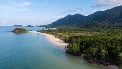
Cambodia’s Coastline: Geography of the Gulf of Thailand
Cambodia's coastline stretches about 435 km along the Gulf of Thailand. Learn how mountains, monsoons, and the sea shape this…
Read More » -
Geography & Regions
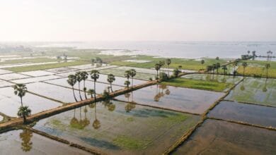
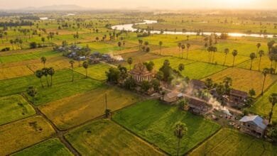
Why Cambodia’s Landscape Is Dominated by Rice Fields
Cambodia's endless rice fields are the product of flat land, monsoon rain, the Mekong River, and the Tonle Sap's flood…
Read More » -
Geography & Regions
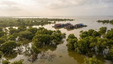
Cambodia’s Landscape in Wet Season vs Dry Season: What Changes and Why It Matters
Cambodia's landscape transforms dramatically between wet and dry seasons. The Tonle Sap grows five times larger, rivers reverse direction, and…
Read More » -
Geography & Regions
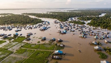
Why Does Tonlé Sap Change Size So Dramatically?
Tonlé Sap Lake in Cambodia expands to six times its dry-season size every year. Here is the geographic reason —…
Read More » -
Geography & Regions
The Cambodia You See Depends on Where You Go: A Geography Overview
Cambodia's geography is a story of water, flat plains, and surrounding mountains. This overview explains the country's regions, rivers, and…
Read More »